Thin IcePhotography and reporting for Reuters
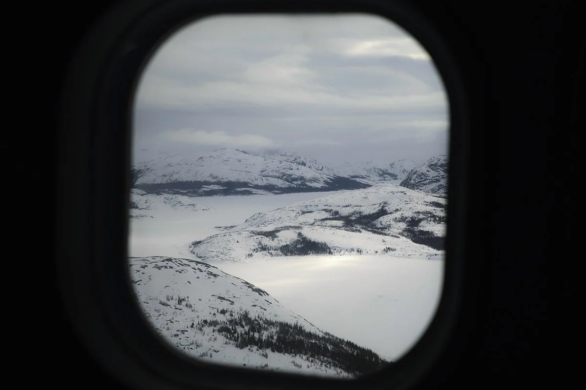
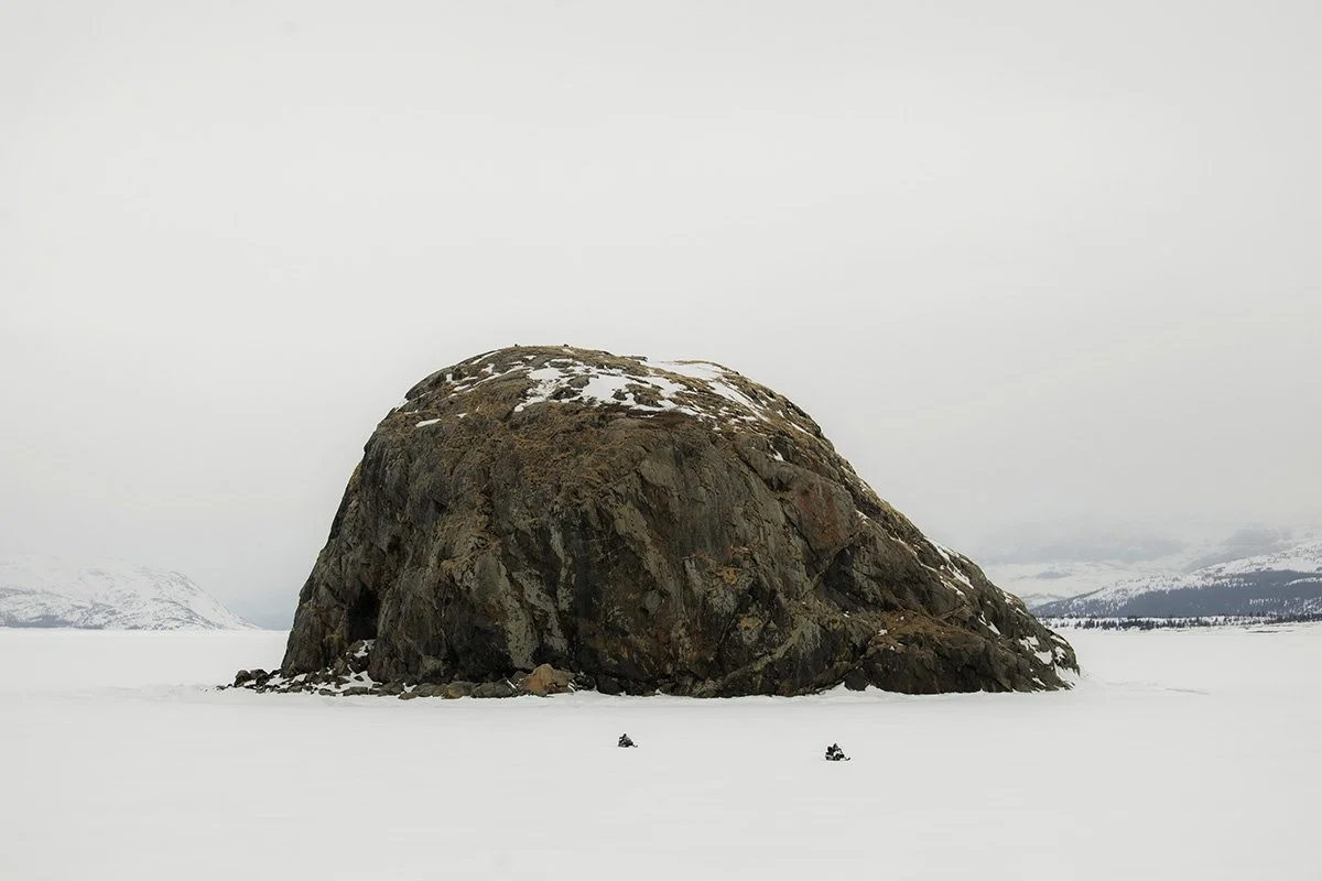
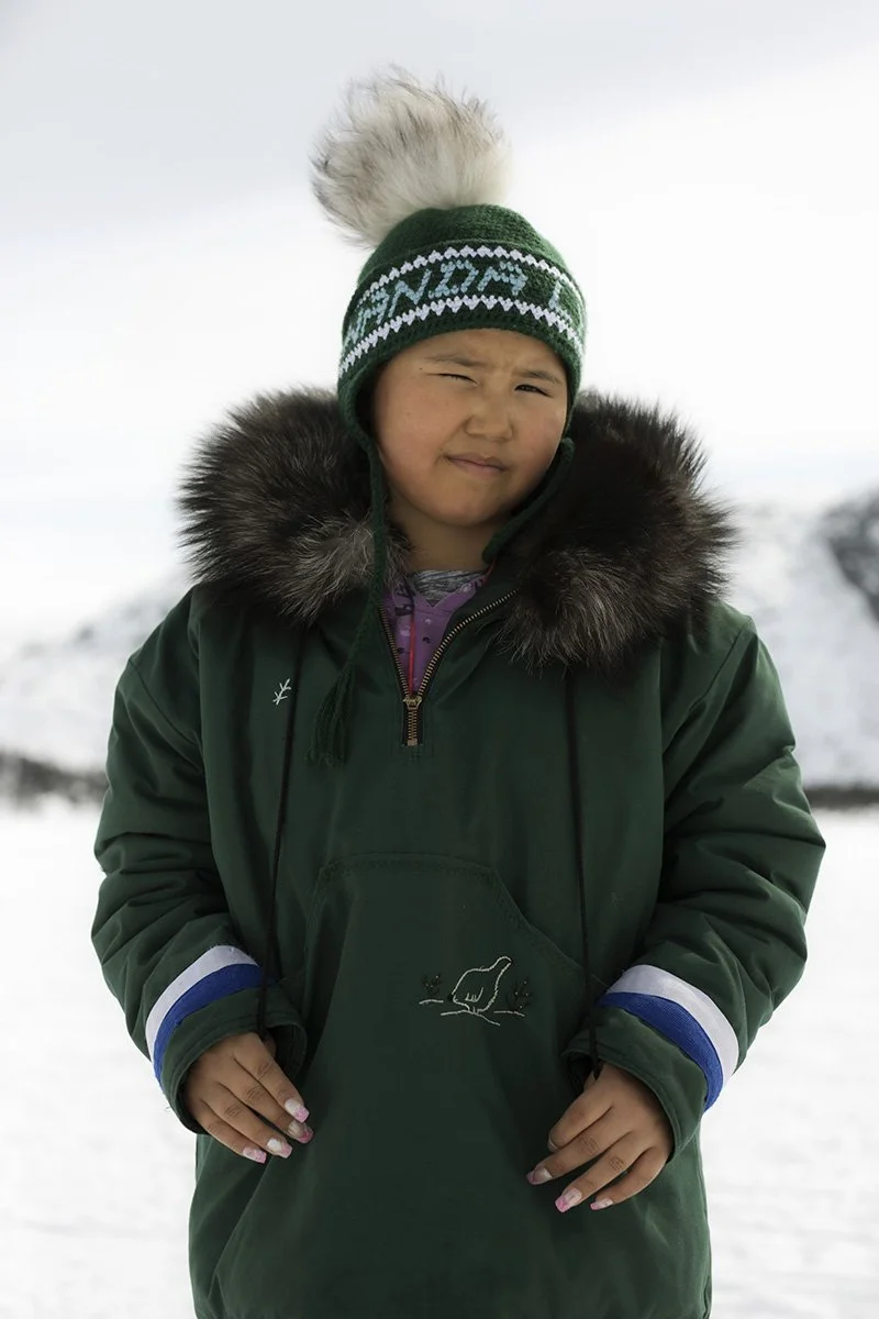
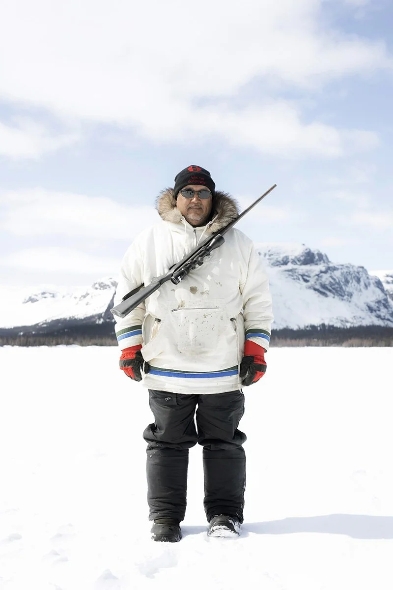
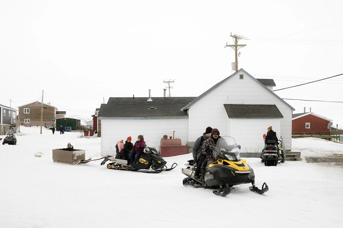
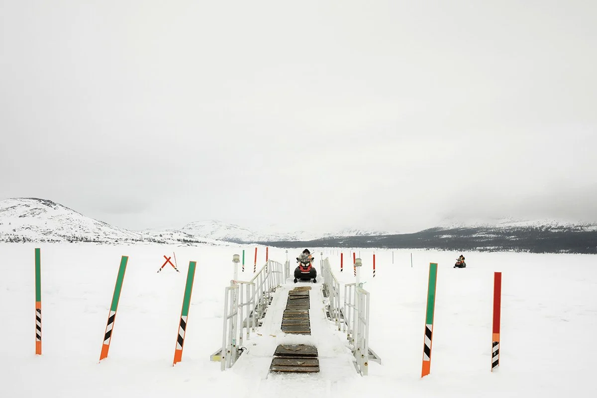
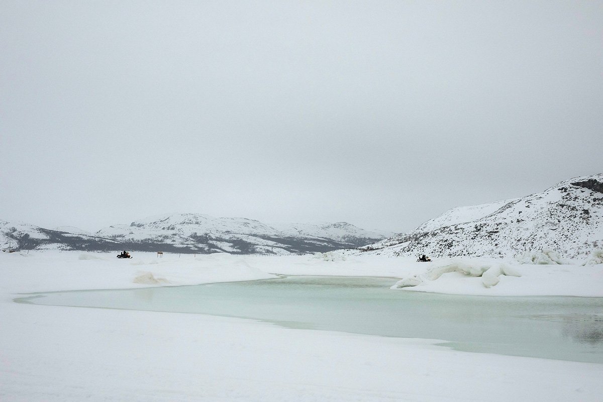
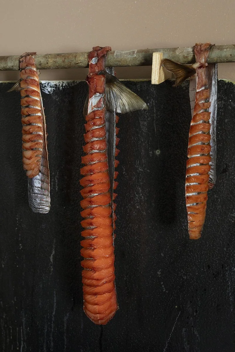
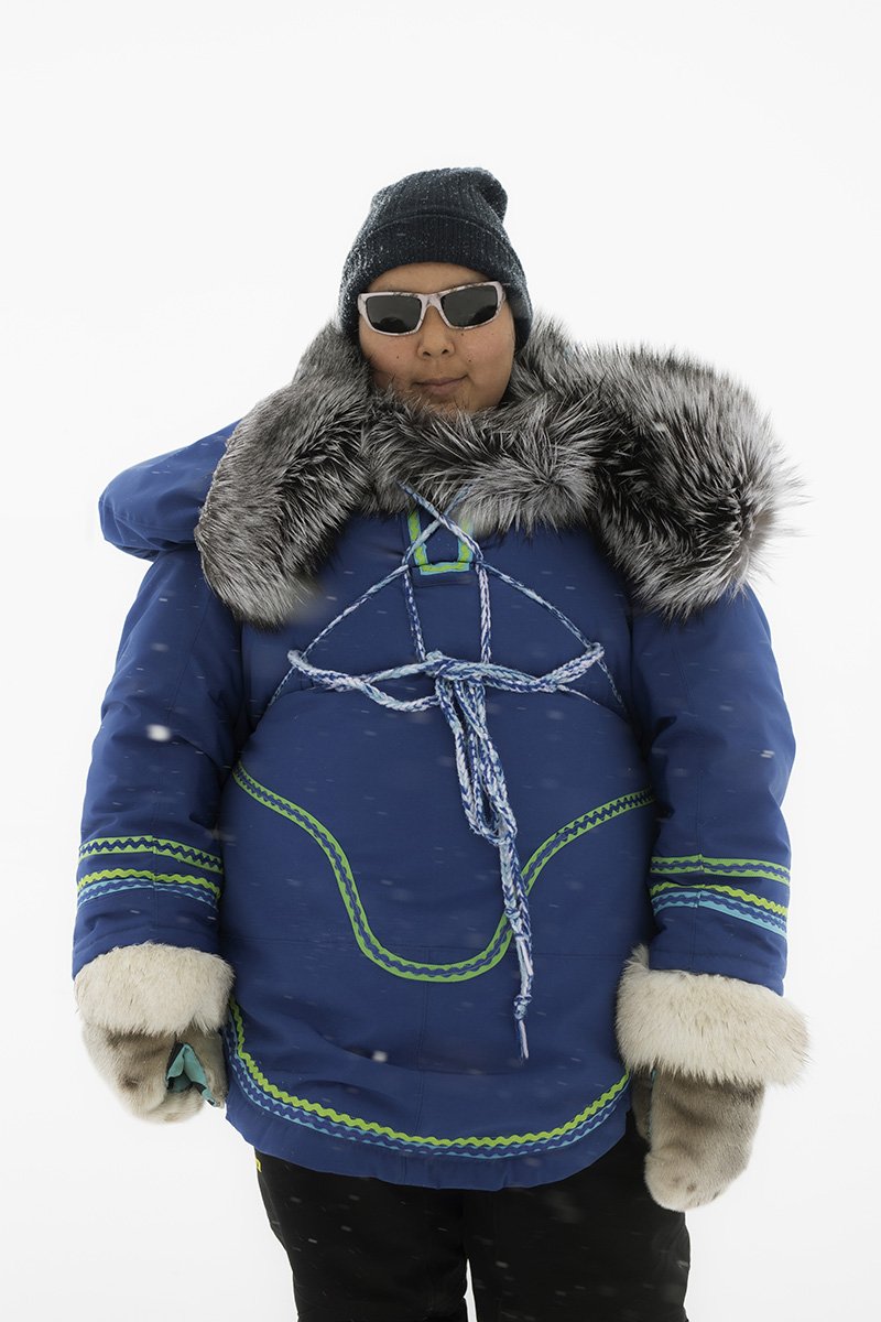
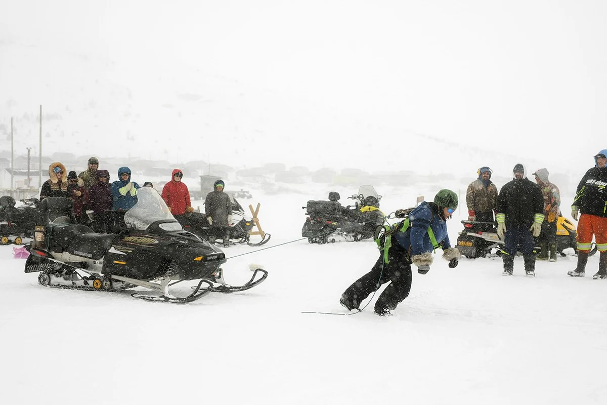
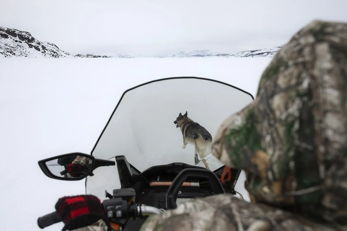
For centuries, Inuit in Canada’s north have relied on sea-ice as their traffic way for hunting and travel. But as the climate warms, their very lifeline has become life threatening. As the Arctic warms, sea-ice is thinning, covering less of the ocean and lasting for shorter periods.
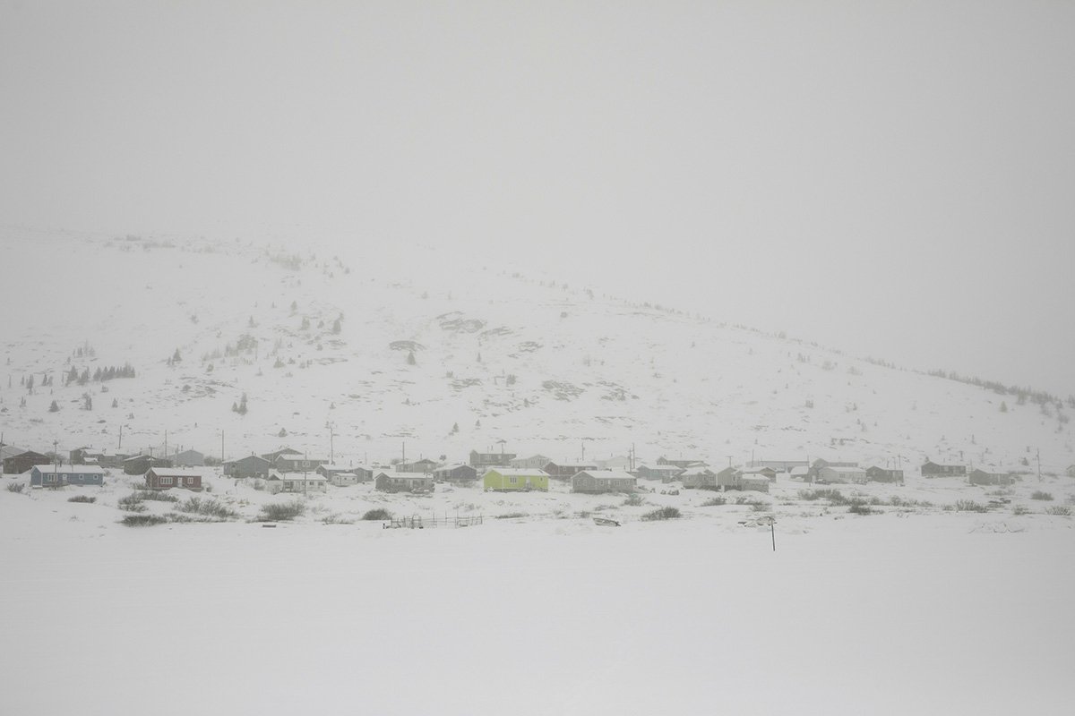
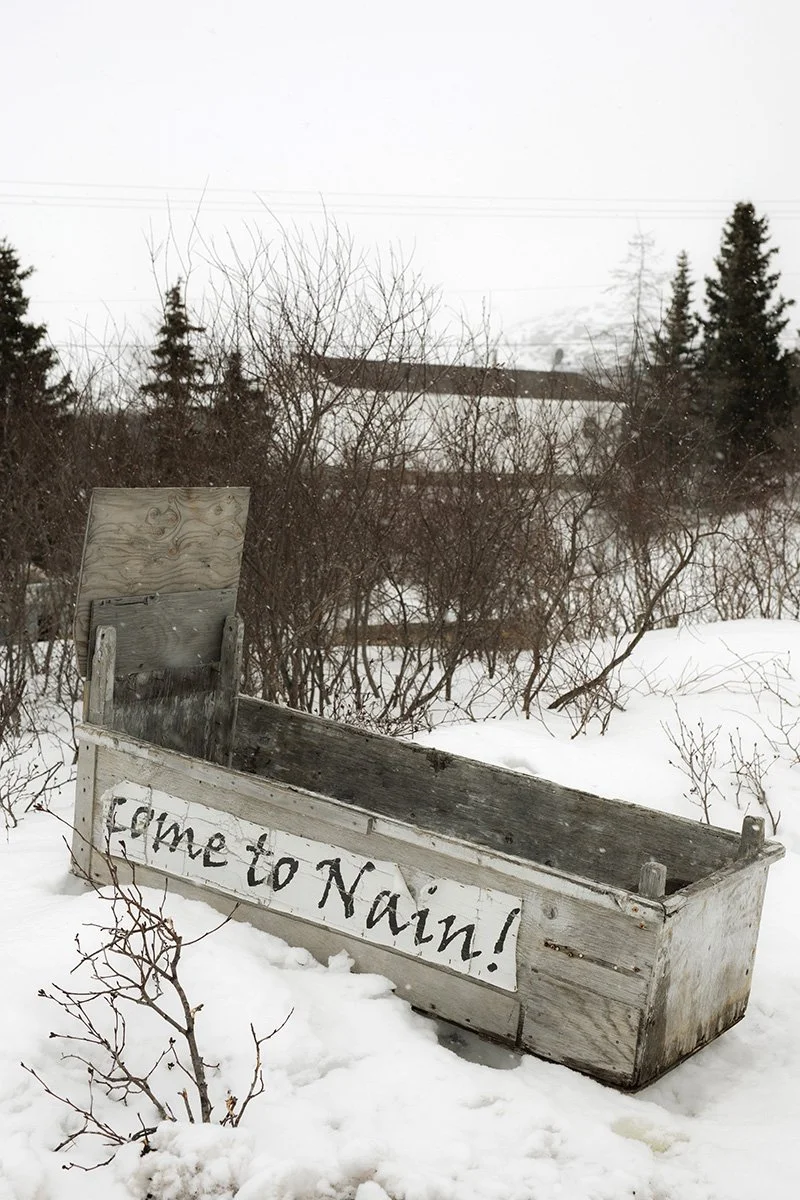
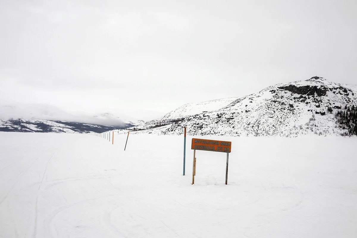
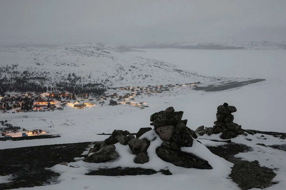
In 2010, one in 12 people surveyed in Nain – Labrador’s most northern community – had fallen through the ice that year, plunging into the glacial Arctic water. This left many fearful of traveling and participating in their traditions, like hunting. And the situation has only become more critical – between 1975 and 2012, ice in the centre of the Arctic Ocean thinned by 65 per cent during the winter.
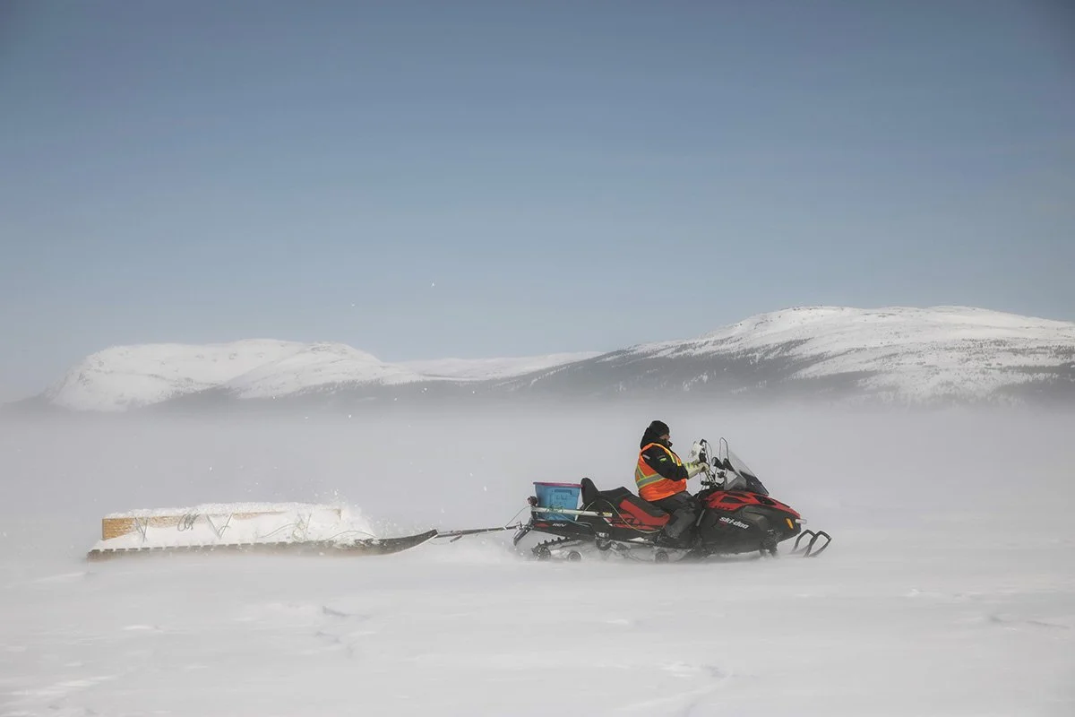
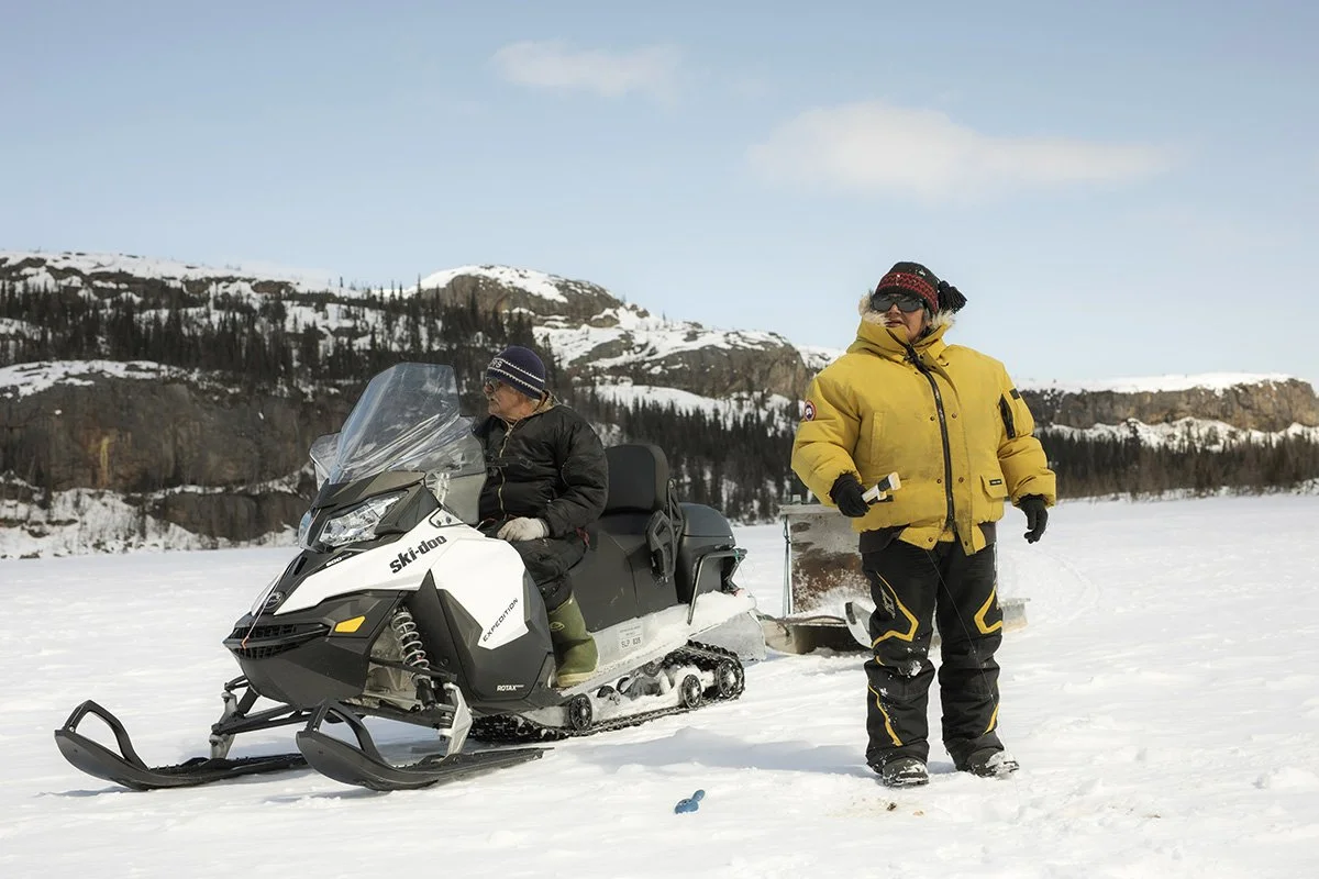
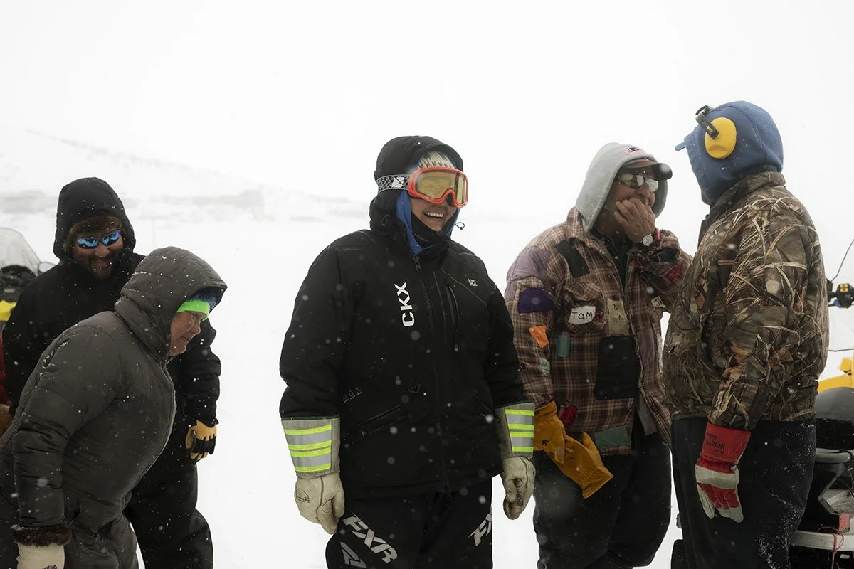
As the incidences of search-and-rescue missions in the Nunatsiavut area increased, Professor Trevor Bell of Memorial University recognized the need to create a technology that would allow for safe ice travel. And so, SmartICE was born. It is the world’s first climate-change adaption tool, pairing traditional Inuit knowledge of sea ice, with remote monitoring and data acquisition. Combining these two approaches gives northern communities data on sea-ice thickness and local ice conditions, showing them real-time measurements of sea-ice thickness on their phone application. This ultimately reveals the routes that are safe to use, and those that are not.
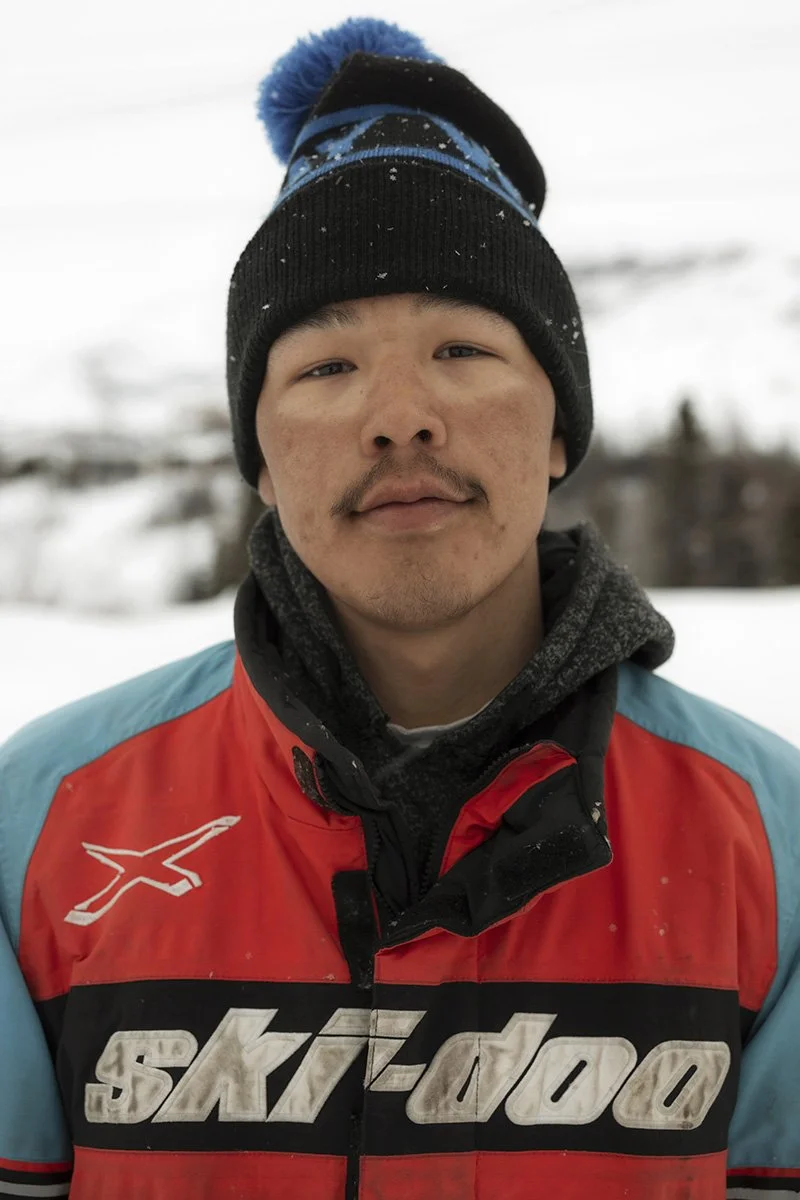
The pilot project began in Nain in 2016, and has since expanded to over 30 other communities across Canada’s far north. “This is an emerging market and we’re the only people who are doing this,” says Rex Holwell, the Northern Production Lead in Nain, who learned his traditional knowledge about sea-ice from his father.
"We have to adapt to climate change," he says. "We're going to need more tools like SmartICE."